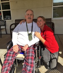
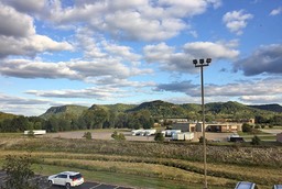
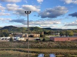
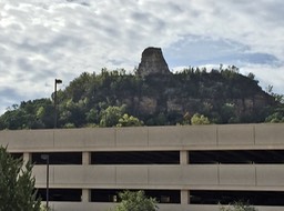
I had planned a trip to visit Dad & Candy with the bike and Kevin agreed to join me so I wouldn’t have to go alone, cause everyone worries about me when I do that and I have to admit that it is always more fun to have company. So we planned to leave Friday morning, September 29 after Kevin finished work at 9 a.m. However, due to a dead battery for Kevin we weren’t able to leave town until 10ish or so. It was only supposed to get up in the sixties with gusty winds out of the north and partly sunny. So I wore a long-sleeved thermal, including the quilted lining in my non-vented jacket. Brought the balaclava along just in case as well, but never needed it. Our plan was to take a more direct route which was good since we were running late. Taking Hwy 151 to Cty A into Fox Lake and then Hwy 68 and 33 into Portage and Hwy 33 all the way to Wildcat Mountain, with one exception where I took Hwy 136 west out of Baraboo back to Hwy 33 outside of Reedsburg. While passing through Hillsboro, I needed fuel, both for the bike and me. We ended up stopping at Hillsboro Brewing Company. We have been in Hillsboro for lunch many times, but never stopped there before. The food was great and the story behind their business exceptional and touching. I decided to take us on Hwy 162 north to Cty B outside of Bangor and then hooking up west on Hwy 16 into Onalaska, taking Hwy 53 to 35 up the Wisconsin side of the River to avoid the high wind gusts across the I90 bridge over the Miss in La Crosse. We finally made it to Winona around 2:30ish. Stopped by Dad for a visit and then checked into our hotel before heading out to meet Candy for dinner.
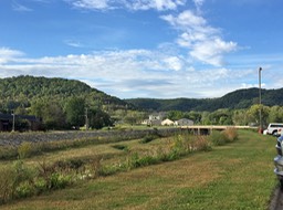
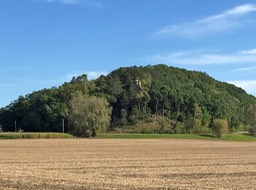
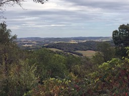
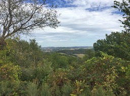
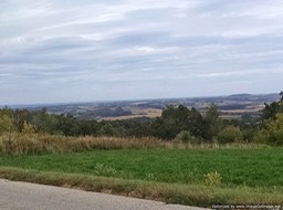
Since we encountered hardly any fall colors all the way along our trip to Winona or in that area, I decided to take us north on our way back on Sunday up to Arcadia before heading east and then south chiseling our way to Tomah area and south of there before connecting on Hwy 82 to 23 for the remainder of the way home. There sure are some huge bluffs around Arcadia so I can understand why they had major flooding earlier this year when we endured quite a bit of rain, hence they are located smack in the middle of the valley between several bluffs.
There is a map below. The red is our trip together and the black represents a trip Kevin took alone on Saturday to move his Honda ST groups tag from Stockholm to some other destination ;). Around 450 miles for me and Sunday was the best day weather-wise for our return. Too bad it was Sunday orI might have went more out of my way.